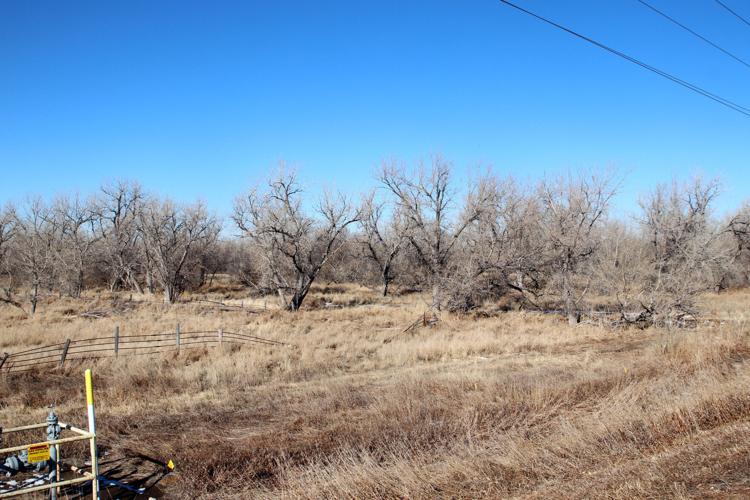
If the abandoned 1894 Perkins County Canal project should be revived, it would start in or near the wooded area (left) west of Sedgwick County Road 27B’s South Platte River bridge just south of Ovid, Colorado. The South Platte River Compact, concluded in 1923 and ratified by Congress in 1926, says Nebraska must finish the canal but build it along or near its originally planned route from Ovid to the Nebraska line.
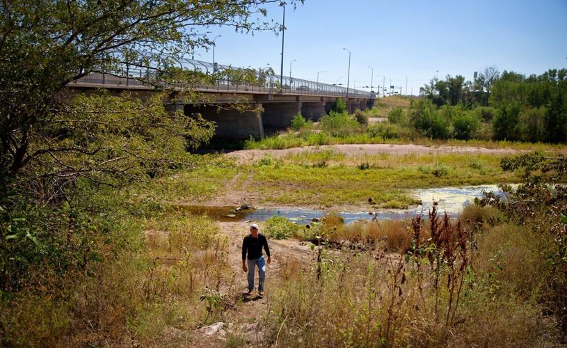
Though it’s proved itself capable of serious flooding four times since 1995, the South Platte River usually masquerades as a small creek — due to existing irrigation and domestic uses — from the Colorado line to North Platte. This photo was taken below the river bridge north of Ogallala’s Interstate 80 interchange on Sept. 17, 2013, just before runoff from massive Front Range downpours surged down the South Platte into Nebraska.
Though it’s proved itself capable of serious flooding four times since 1995, the South Platte River usually masquerades as a small creek — due to existing irrigation and domestic uses — from the Colorado line to North Platte. This photo was taken below the river bridge north of Ogallala’s Interstate 80 interchange on Sept. 17, 2013, just before runoff from massive Front Range downpours surged down the South Platte into Nebraska.
If the abandoned 1894 Perkins County Canal project should be revived, it would start in or near the wooded area (left) west of Sedgwick County Road 27B’s South Platte River bridge just south of Ovid, Colorado. The South Platte River Compact, concluded in 1923 and ratified by Congress in 1926, says Nebraska must finish the canal but build it along or near its originally planned route from Ovid to the Nebraska line.