

Keith County residents shouldn’t read too much from a map in a state-ordered feasibility study showing a possible Perkins County Canal route in Nebraska, according to three state and local natural resources officials.
DNR: Perkins County Canal found feasible, but route study hardly begun
1 of 3
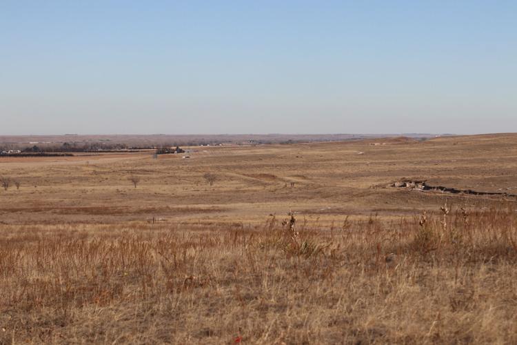
This January 2022 photo looking east from Julesburg Cemetery, near the Interstate 76-U.S. Highway 385 interchange, shows the easternmost visible segment of the original 1894 attempt to build the Perkins County Canal from the South Platte River in Sedgwick County, Colorado. The segment runs right to left, bound for the state line between Julesburg and Big Springs. Nebraska officials recently received a feasibility study commissioned by the Legislature on invoking the 1923 South Platte River Compact to revive and finish the canal. The compact says its Colorado segment must run on or near the 1894 route from near Ovid to the state line. A subsequent engineering study will recommend where the canal would run in Nebraska.
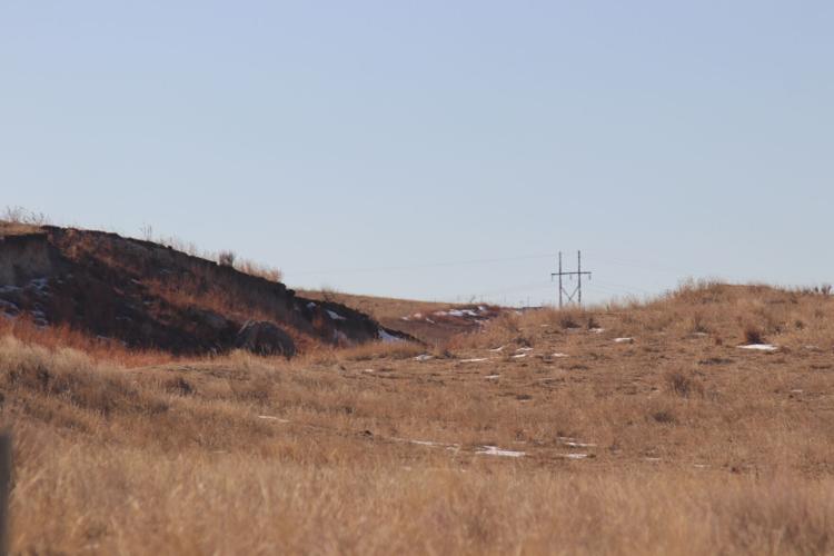
The dark ravine and brown ridge in this January 2022 define the edges of a Perkins County Canal remnant in Sedgwick County, Colorado, west of the Interstate 76-U.S. Highway 385 interchange south of Julesburg. I-76 lies out of view beyond the ravine to the left. A December feasibility study on reviving and finishing the abandoned 1894 canal suggests using an “inverted siphon” to take its water below the I-76 exit. The 1923 South Platte River Compact, which gives Nebraska the right to finish the Perkins canal, requires it to run along or near the canal’s planned 1894 route west of the Nebraska line.
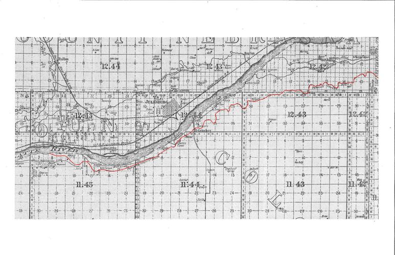
The intended path of the partly finished Perkins County Canal can be seen in this 1902 map of Sedgwick County, Colorado’s northeasternmost county next to Nebraska. The 1923 South Platte River Compact lets Nebraska revive and finish the canal but requires it to run on or near the route marked in red to the Nebraska line. The 16 miles dug out in 1894 left the South Platte south and just west of Ovid. The southernmost weaving line below the river shows the intended route, which passed north of the still-existing Julesburg Cemetery and then ran more or less east to the state line. Construction stopped somewhere east of the cemetery. Present-day County Road 28 and Interstate 76 generally parallel the canal’s visible remnants, with I-76 crossing the canal’s path at about the U.S. Highway 385 interchange at Julesburg.

In 1894, Perkins County residents began work on an ill-fated South Platte River canal from Ovid, Colorado, into Nebraska, the remnants of whic…

Now Colorado leaders are looking up Interstate 76, contemplating ways to use that water and even pipe it back to the Denver area. That’s why N…

As Nebraska commits itself to the Perkins County Canal, a Telegraph analysis shows river flows at Julesburg have exceeded South Platte River C…


