UPDATED, July 29, 2025, 3:40 pm: Corrects various daily flow totals and percentage of days South Platte exceeded compact minimum floors in 2022-23 water year.
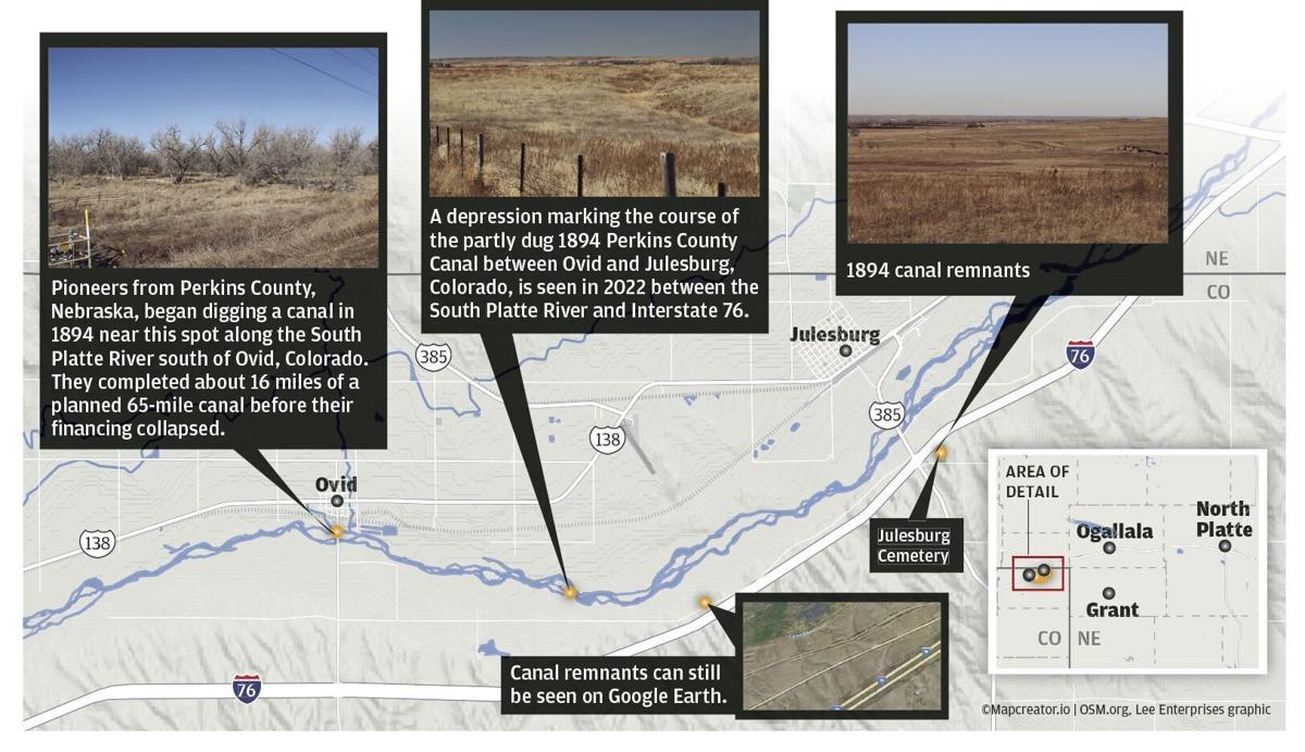
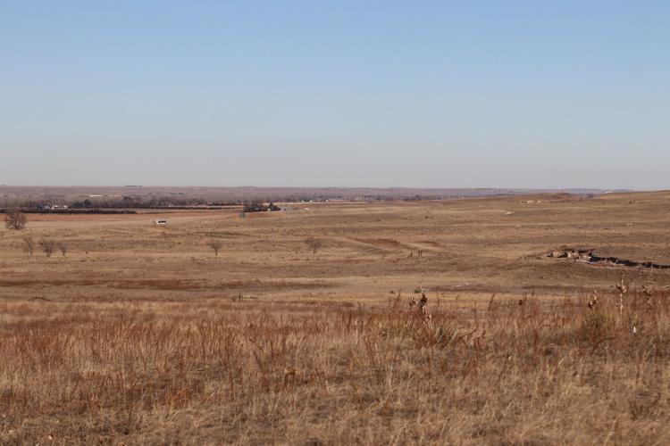
One can see the partly dug 1894 Perkins County Canal undulating through the Colorado landscape east of the Julesburg Cemetery near the Interstate 76-U.S. Highway 385 exit. The 16 miles dug by pioneers from the Nebraska county ended somewhere near this point. Nebraska leaders are preparing to invoke the 1923 South Platte Compact, which allows them to revive the canal and take it across the state line into Keith County.
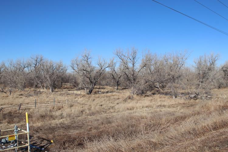
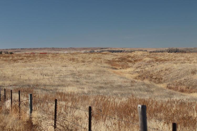
Pioneers from Perkins County, Nebraska, began digging a canal in 1894 near this spot along the South Platte River south of Ovid, Colorado. They completed about 16 miles of a planned 65-mile canal before their financing collapsed. Nebraska leaders have set aside $628 million to invoke their right to revive and complete their canal — albeit into Keith County — under the state’s 1923 South Platte River Compact with Colorado.
This January 2022 photo shows a depression marking the course of the partly dug 1894 Perkins County Canal between Ovid and Julesburg, Colorado, between the South Platte River and Interstate 76.
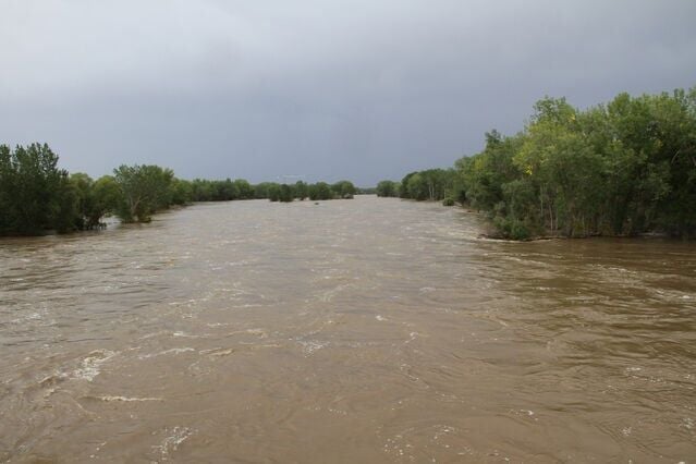
The swollen South Platte River, which crested at 14.3 feet Sunday, flows past North Platte on Monday, Sept. 23, 2013. The National Weather Service office in North Platte said waters are expected to stay above flood stage until Wednesday.
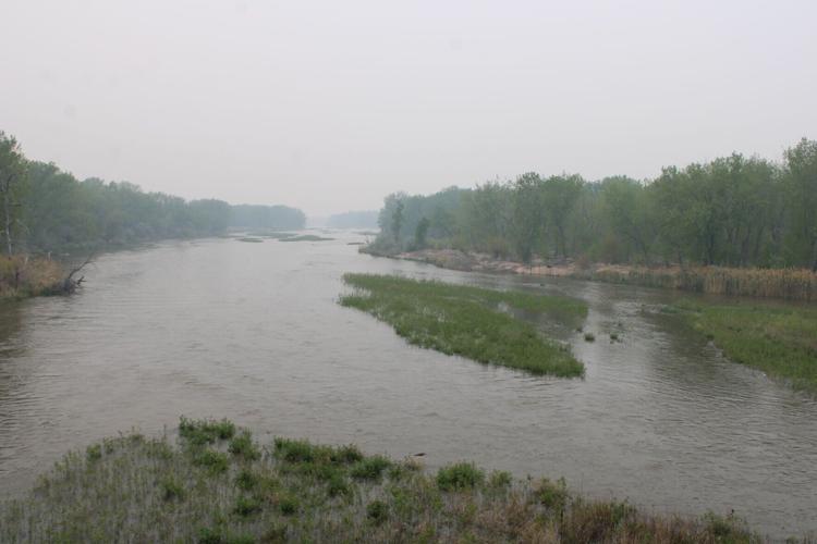
The South Platte was a river again in North Platte on May 18, 2023, a week after 5 to 7 inches of rain fell around Denver and along Colorado’s Front Range. The U.S. Geological Survey’s gauge at Julesburg, Colorado, recorded 3,010 cubic feet per second on May 16, 2023, after recording a mere 94-cfs flow just five days earlier. This photo was taken from North Platte’s present-day South Platte bridges on U.S. Highway 83, at roughly the same spot where a 1918 predecessor bridge collapsed under the pressure of floodwaters on June 13, 1921.
TODD VON KAMPEN PHOTOS, THE NORTH PLATTE TELEGRAPH
Here’s a recap of key spending items primarily affecting western Nebraska or introduced by the region’s five state senators in the Legislature…
The South Platte was a river again in North Platte on May 18, 2023, a week after 5 to 7 inches of rain fell around Denver and along Colorado’s Front Range. The U.S. Geological Survey’s gauge at Julesburg, Colorado, recorded 3,010 cubic feet per second on May 16, 2023, after recording a mere 94-cfs flow just five days earlier. This photo was taken from North Platte’s present-day South Platte bridges on U.S. Highway 83, at roughly the same spot where a 1918 predecessor bridge collapsed under the pressure of floodwaters on June 13, 1921.
TODD VON KAMPEN PHOTOS, THE NORTH PLATTE TELEGRAPH
Pioneers from Perkins County, Nebraska, began digging a canal in 1894 near this spot along the South Platte River south of Ovid, Colorado. They completed about 16 miles of a planned 65-mile canal before their financing collapsed. Nebraska leaders have set aside $628 million to invoke their right to revive and complete their canal — albeit into Keith County — under the state’s 1923 South Platte River Compact with Colorado.
This January 2022 photo shows a depression marking the course of the partly dug 1894 Perkins County Canal between Ovid and Julesburg, Colorado, between the South Platte River and Interstate 76.
One can see the partly dug 1894 Perkins County Canal undulating through the Colorado landscape east of the Julesburg Cemetery near the Interstate 76-U.S. Highway 385 exit. The 16 miles dug by pioneers from the Nebraska county ended somewhere near this point. Nebraska leaders are preparing to invoke the 1923 South Platte Compact, which allows them to revive the canal and take it across the state line into Keith County.
The swollen South Platte River, which crested at 14.3 feet Sunday, flows past North Platte on Monday, Sept. 23, 2013. The National Weather Service office in North Platte said waters are expected to stay above flood stage until Wednesday.