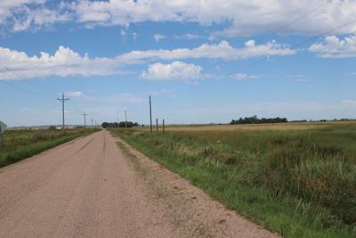
One can look north from the county road, toward the treeline hiding the Platte River, and imagine log buildings where emigrants and freighters reined their teams to a stop.
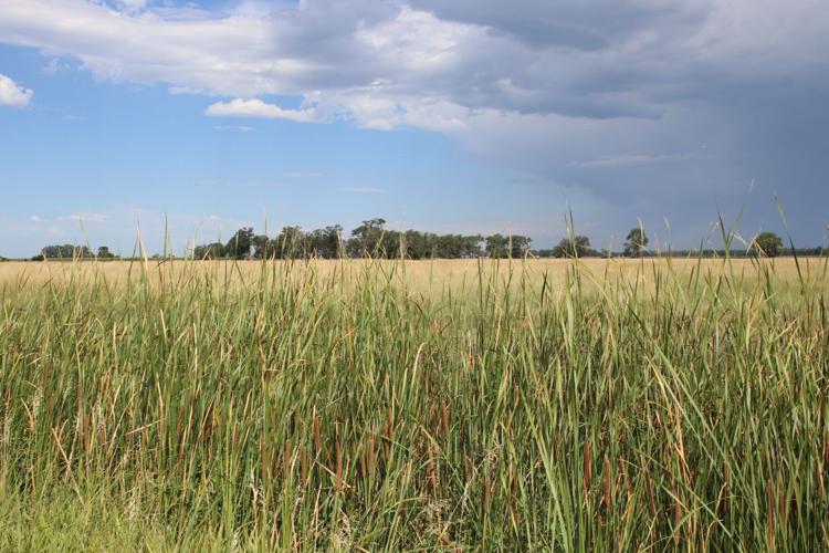
The welcoming “pump on the prairie” on John and Jeremiah Gilman’s 1859-68 Oregon-California Trail “road ranch” stood beyond the row of tall grass in the foreground. As late as the mid-1990s, a “hole in the prairie” marked the location of the well’s pump about 215 feet northwest of this vantage point on East Bailey Road southeast of Brady, the late trail expert Gregory Franzwa wrote in his 1997 book “The Oregon Trail Revisited.”
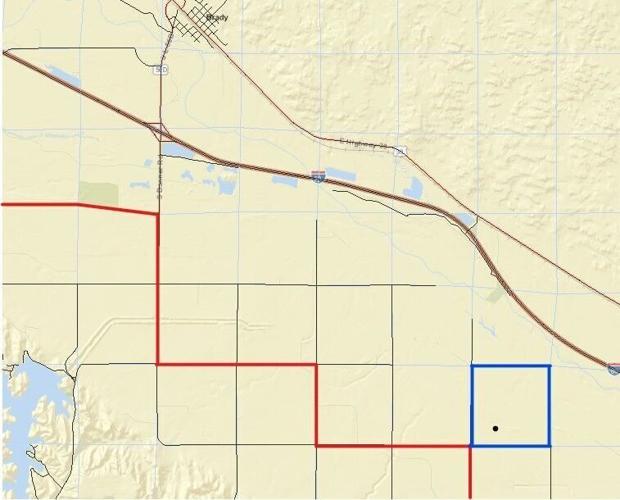
The section outlined in blue encloses the general location of John and Jeremiah Gilman’s 1859-68 “road ranch” along the Oregon-California Trail southeast of present-day Brady. The dot within the blue square marks the approximate spot where the Gilmans’ red iron “pump on the prairie” greeted emigrants, freight wagons, stagecoach passengers and other visitors. The road in red shows the “stairstep” route of the original 1913 Lincoln Highway, which passes within one-half mile of where the Gilman ranch once stood. Cottonwood Springs, the first settlement in what became Lincoln County, west of the map along present-day Fort McPherson Road.
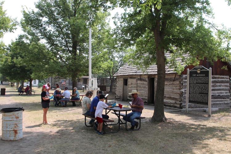
The lone surviving building from Fort McPherson, a U.S. Army post at Cottonwood Springs from 1863 to 1880, can be seen at the Lincoln County Historical Museum. John and Jeremiah Gilman, whose Oregon-California Trail “road ranch” was about 15 miles southeast, received the contract to construct the fort’s buildings from red cedar logs, according to Musetta Gilman’s 1975 book “Pump on the Prairie.” Her husband, Harold, was a grandson of Jeremiah Gilman.
The section outlined in blue encloses the general location of John and Jeremiah Gilman’s 1859-68 “road ranch” along the Oregon-California Trail southeast of present-day Brady. The dot within the blue square marks the approximate spot where the Gilmans’ red iron “pump on the prairie” greeted emigrants, freight wagons, stagecoach passengers and other visitors. The road in red shows the “stairstep” route of the original 1913 Lincoln Highway, which passes within one-half mile of where the Gilman ranch once stood. Cottonwood Springs, the first settlement in what became Lincoln County, west of the map along present-day Fort McPherson Road.
The welcoming “pump on the prairie” on John and Jeremiah Gilman’s 1859-68 Oregon-California Trail “road ranch” stood beyond the row of tall grass in the foreground. As late as the mid-1990s, a “hole in the prairie” marked the location of the well’s pump about 215 feet northwest of this vantage point on East Bailey Road southeast of Brady, the late trail expert Gregory Franzwa wrote in his 1997 book “The Oregon Trail Revisited.”
The lone surviving building from Fort McPherson, a U.S. Army post at Cottonwood Springs from 1863 to 1880, can be seen at the Lincoln County Historical Museum. John and Jeremiah Gilman, whose Oregon-California Trail “road ranch” was about 15 miles southeast, received the contract to construct the fort’s buildings from red cedar logs, according to Musetta Gilman’s 1975 book “Pump on the Prairie.” Her husband, Harold, was a grandson of Jeremiah Gilman.